")
")
Makgadikgadi Pans National Park
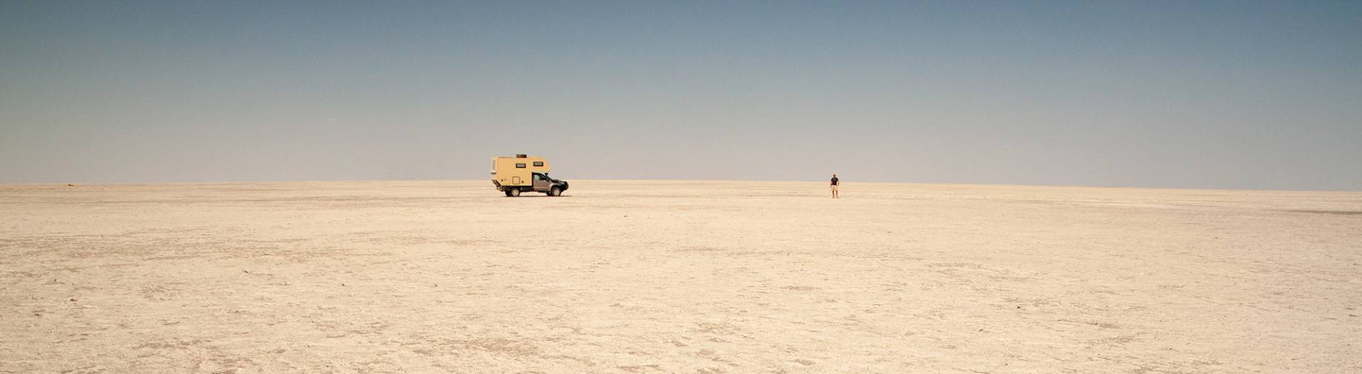
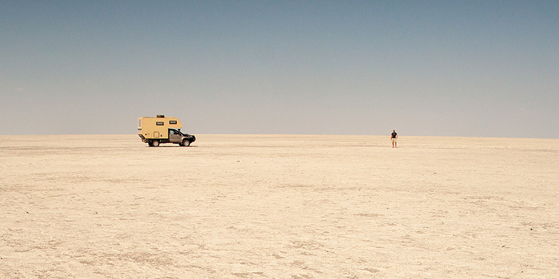
The Makgadikgadi Pans National Park is situated south of the Nxai Pan National Park in Botswana and forms with its huge salt pans an impressive surreal landscape.
The name Makgadikgadi means „vast, lifeless land”. For those who prefer solitude and silence this is paradise, as even during the high season people are scarce here.
Specifications
Location and formation of the Makgadikgadi Pans
The national park forms a unity with the Nxai Pan National Park only separated by the Maun – Nata tar road from each other. In the south west its border crosses the Ntwetwe Pan, in the west the Boteti River forms the border.
The Makgadikgadi Pans National Park and the Nxai Pan National Park are situated on the western border of the large Makgadikgadi salt pans, south east of the Okavango Delta. The Makgadikgadi Pans are one of the biggest salt pans worldwide. They are formed by two large and thousands of small pans with an area of more than 8400 km². The complete area of pan systems covers an area of more than 16000 km².
The formation of the salt pans started with the evaporation of a huge inland lake in central Botswana, which covered an area of about 60000 km². As a result of plate tectonics, the feeding rivers were cut off. As Makgadikgadi forms the lowest point, salt concentrated here and formed layers up to five metre deep.
Due to the absence of water the area of the national park has never been inhabited. The surrounding villages had the states permission to graze their herds on the fringes of the area.
In 1970 parts of today’s national park were declared as game reserve, which were then extended to the north up to the Maun-Nata tar road in 1992 to cover an area of 4877 square kilometres and proclaimed National Park.
Wildlife in the Makgadikgadi Pans National Park
The Makgadikgadi National Park is not visited so much because of its fauna, but rather its solitude, remoteness and its harsh beauty. Nonetheless, depending on the season, impressive animal populations can be viewed.
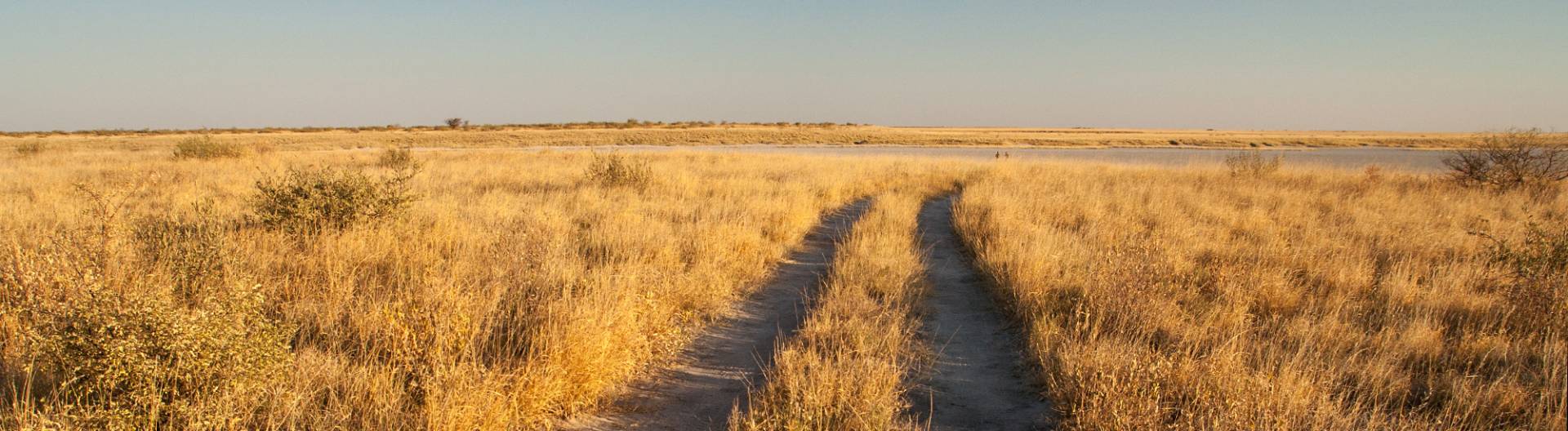
The pans are surrounded by open grasslands, which attract the largest zebra migration after Tanzania. During the rainy season from December to March, large herds of zebras, oryx, wildebeests, impalas and springbuck roam the northern part of the Nxai Pan National Park. They then trek south into the Makgadikgadi National Park where they feed on green pastures and make use of the many small water holes from June to November.
In December the animals move along the Boteti River back north into the Nxai National Park.
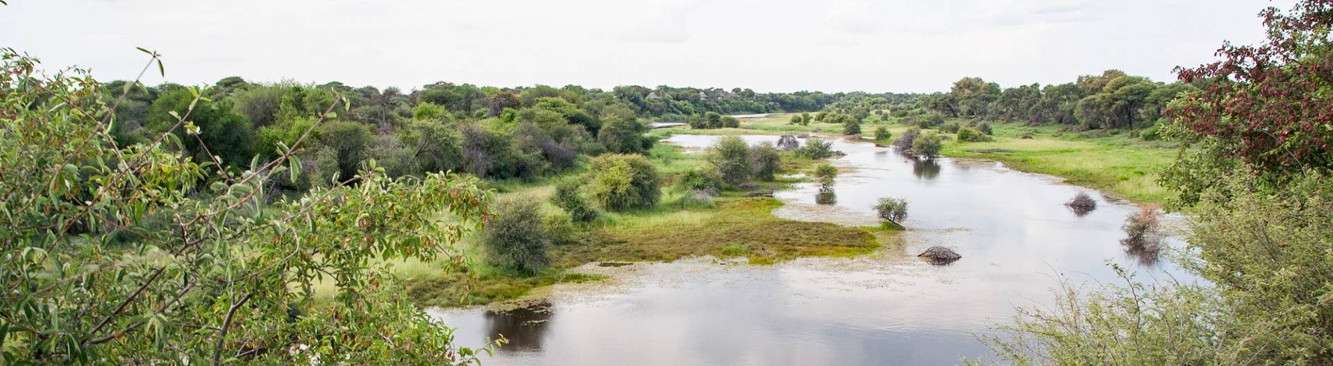
Elephants can be found along the Boteti River and there are waterholes big enough for hippos to stay in.
After the first rains a lot of aquatic birds – especially flamingos – breed along the pans.
In 1992 water in the Boteti River was dammed for the Orapa Diamond Mine, the largest diamond mine in the world. The result was that less and less water reached the salt pans. Thus, in 2006 a project was started (Kalahari Conservation Society together with the Department of Wildlife and National Parks), to increase the number of watering holes along the Boteti from four to nine.

Infrastructure and Tourism in the Makgadikgadi Pans National Park
The National Park is open throughout the year. As in most of Botswana’s national parks the infrastructure is very basic. Some of the tracks in the park are only accessible by 4x4 – there are no real roads. One can book guided tours, but when self-driving all supplies have to be taken along (food, water, fire wood, fuel, etc.). A GPS is very helpful and it is advisable to travel in at least two vehicles.
Apart from two campsites there are no accommodation facilities inside the park. Njuca Hills Campsite is situated 26 km south of the park entrance and Kumaga Camp where water is found (not for human consumption though) is situated at the Boteti, 48 km southwest of the park entrance. Camping is also allowed on Kubu Island, a rocky island at the edge of the Sowa Pan. Apart from a long-drop toilet there is no infrastructure.
The best time to travel is in June/July and September/October, as the pans are then dry and traversable.
The region falls into the Malaria area and taking a Malaria prophylaxis is advisable.
Another tip: It is advisable to visit both parks, the Makgadikgadi and the Nxai National Park during both seasons (winter and summer). In that way the changes in nature become best visible. If that is not possible one should at least spend some time in both parks.